


GIS Solutions
GIS Solutions
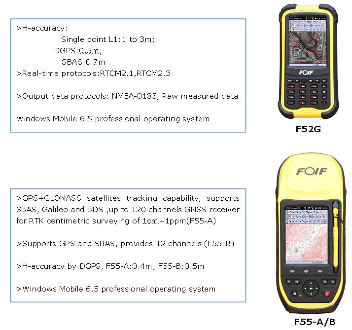
>>> Field Controller: F52/F55 Series Handheld
>>> Field Softare: FOIF SuperGIS
>>> Office Software:FOIF SuperGIS-Desk
>>> Field Controller: F52/F55 Series Handhelds
-----Designed for mobile GIS, specialized in precise collection
>>> Field Softare: FOIF SuperGIS
>What is FOIF SuperGIS?
FOIF SuperGIS is the full-function mobile GIS software, assisting surveyors in easily collecting, editing, measuring and querying spatial data for greater field productivity. It is ideal for specific application areas, like facility management, agriculture survey, census, mining, etc. Different from traditional GIS software, FOIF SurperGIS supports GNSS data difference to get high precision information.

Easy-to-use User Interface
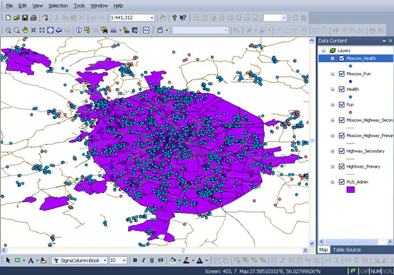
Layer Management
Full GNSS Integration
Precise Data Collection
> Supported file format
Vector Files
GEO(Supergeo GEO Format),Shapefile,MIF,DXF
Raster Data
MrSID, ECW, LAN, BMP, GIF, PNG, JPG
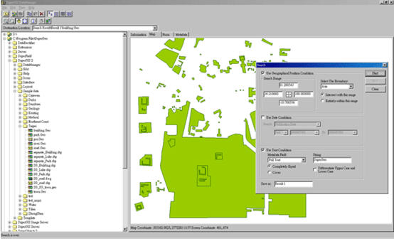
>>> Office Software: FOIF SuperGIS-Desk
> About FOIF SuperGIS-Desk
The ample GIS tools FOIF SuperGIS-Desk offer users a GIS professional platform for geoprocessing and displaying, editing, managing, querying and analyzing geographic data even faster and more easily.
> Functionalities
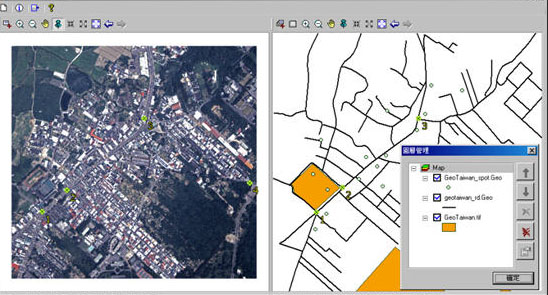
Data Creation and Visualization
1) Advanced cartography: on a basis of field data,create,edit and analyze spatial data
2) Generate interactive maps and charts
>Powerful Spatial Analysis
FOIF SuperGIS-Desk has many optional extensions to provide specialized tools and additional capabilities to enhance your system.These extensions are listed below: Topology Analyst,Spatial Analyst, Network Analyst, 3D Analyst, Spatial Statistical Analyst, Biodiversity Analyst.

>Novel Evolutionary Rectification Tool:DataRectifier Tool
Through DataRectifier Tool, users can apply the feature layers or image layers with correct Geodetic Datum values to rectify the data without real coordinate values or rectify the layers with offset coordinates caused by special reasons by 6-parameters conversion method.Therefore, the rectified layers will have correct coordinate values and be able to be overlaid with other layers to display the map data reflecting the real world position.
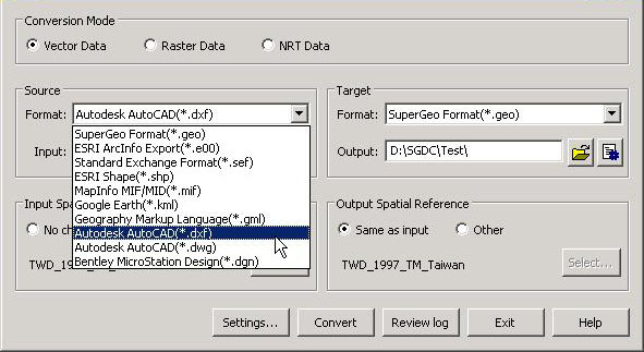
>DataConvertor Tool
DataConvertor supports three modes(raster data, vector data, and network data),which can convert files between miscellaneous data formats.Thus you will no longer need to worry the compatibility of GIS data.Furthermore,DataConvertor tool can also help you convert the spatial reference of the data, so you can convert the file formats and spatial references simultaneously.
>Geodatabase Management
Geodatabase Management supports most of the common feature and raster layers to be displayed, copied, moved, deleted, etc.
1) Commonly used geodatabases,such as Access MDB, SQL Server,
PostgreSQL and Oracle Spatial,are readable and writable.
2) Multi-user can edit the same feature class in Geodatabase.Meantime users can export the data in the databases mentioned above to vector data.
>Integration with Server
1) Conform to standard (WMS, WCS, WFS, WMTS)
2) Synchronize data from Server
3) Create map server cache