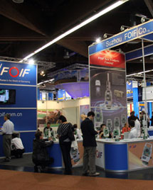


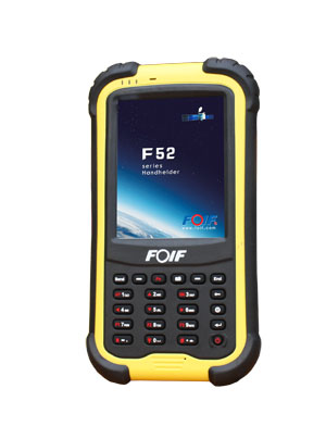
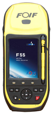
F52/F55 Handhelds
F52/F55 Handhelds
Combine the modern positioning technology and versatility of a powerful handheld, perfect for collecting geographic data and operate fast and accurate measurements
FOIF SuperGIS
--- Professional GIS solution
--- Supports GNSS data difference
FOIF SuperGIS is a multipurpose mobile GIS solution for specific functions and particular applications like facility management, agriculture survey, census, mining, etc. FOIF SuperGIS supports GNSS data difference to get high precision information, helping you easily collect, display, edit, query and analyze spatial data with greater field productivity.
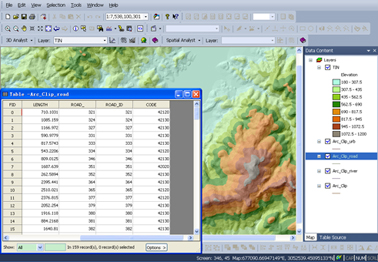
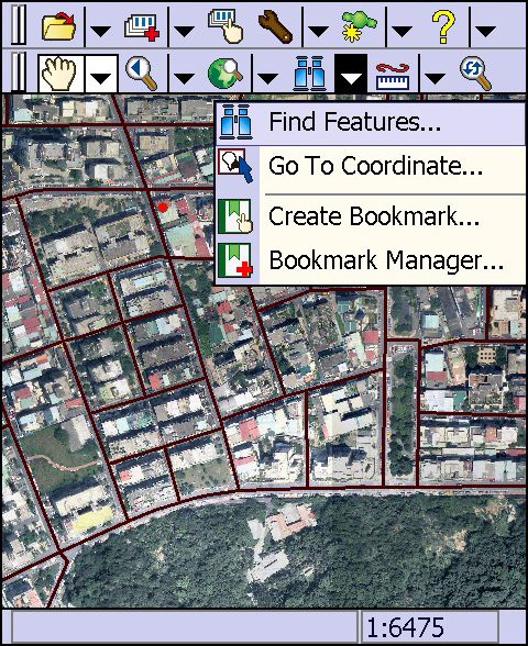
F52/F55 integrating FOIF SuperGIS helps to fulfill your field tasks quickly and efficiently!